Flash flood watch upgraded to a warning for North, Eastern areas Loop Barbados
Black Immigrant Daily News
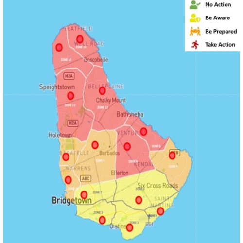
A flash flood warning is now in effect for Northern and Eastern districts.
The Barbados Meteorological Services says unstable conditions in addition to light winds and high atmospheric moisture are expected to generate overcast skies, heavy downpours, and possible thunderstorms, today, Thursday, September 29, 2022. Accumulations of one to four inches of rainfall are forecast to occur, with peak accumulations expected across northern parishes which may extend to the central and eastern parishes as the day progresses.
The flood watch has been upgraded to a flash-flood warning for the northern and eastern districts. This alert message is valid from 10 am and will be terminated at 6 pm or sooner if conditions warrant.
A flash-flood warning in this case is issued when rapid flooding due to excessive rainfall in a short period of time (generally less than six hours) is imminent in the warning area.
Key Messages:
Residents and visitors should note that the following impacts are imminent during this forecast period;
Significant runoff from higher elevations.
Significant soil erosion is likely on exposed or scarred land surfaces. Large water settlements on roads and fields.
Significant adjustments to water levels of existing water bodies (ponds etc.).
Significant delays on traffic routes with some roads possibly impassable.
Large objects or debris from higher elevations may also become embedded within fast-moving water flows.
Debris such as small rocks, mud, and tree foliage could end up on roads and property.
Significant flooding at the foot of hillsides and coastal roads is possible.
NewsAmericasNow.com


Leave a Reply
Want to join the discussion?Feel free to contribute!